= OVER ROSWELL - 2002 =

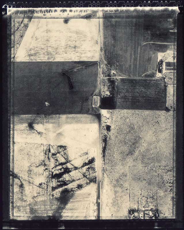
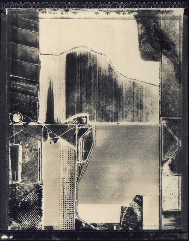
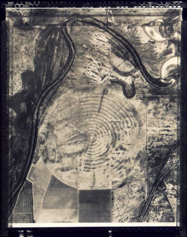
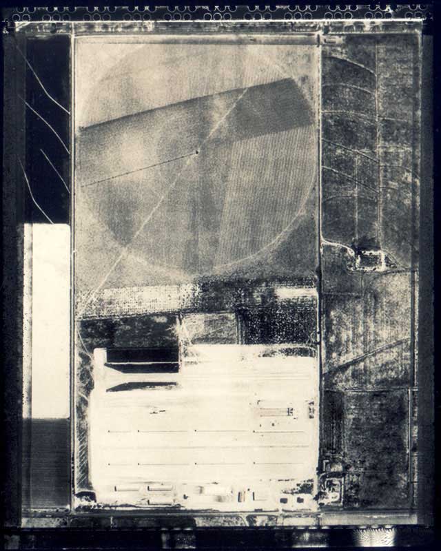
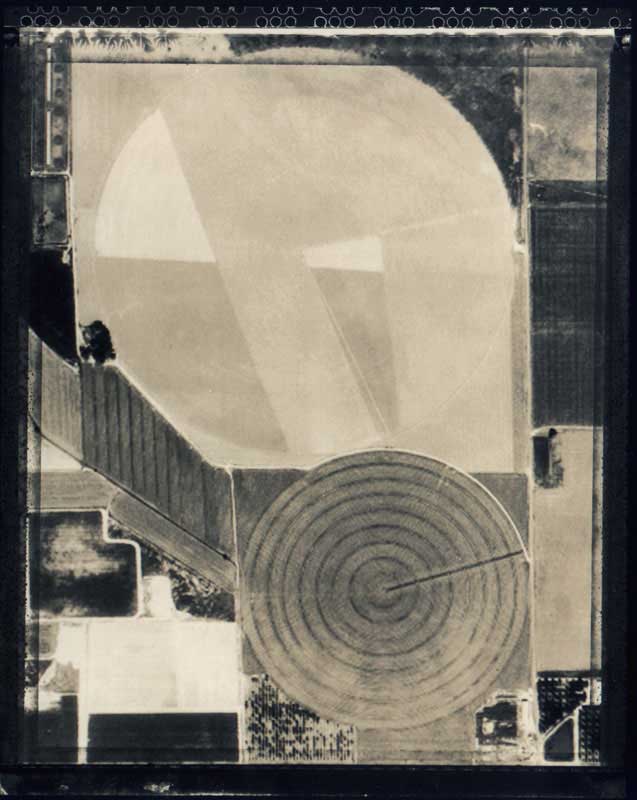
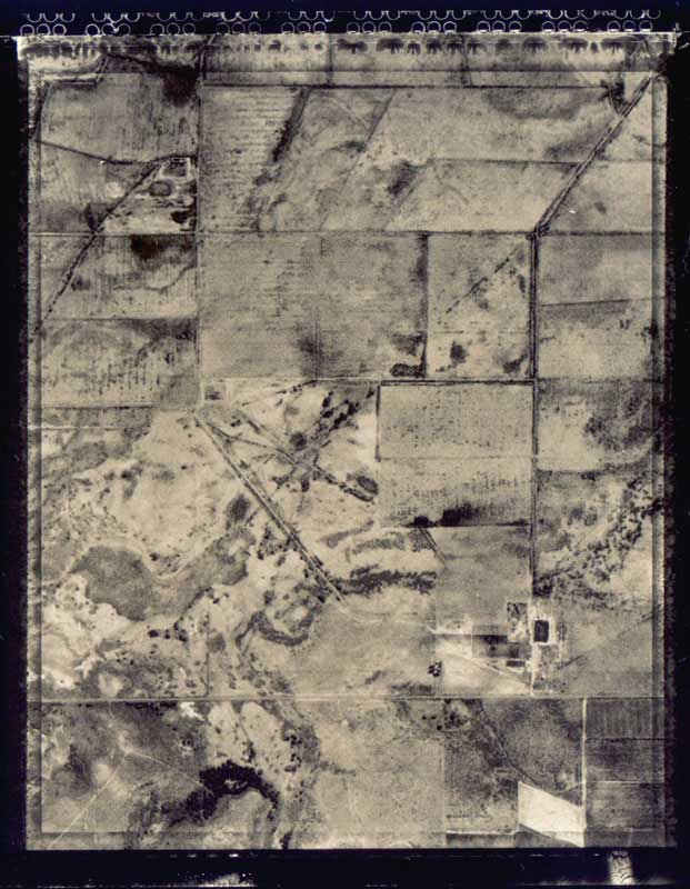
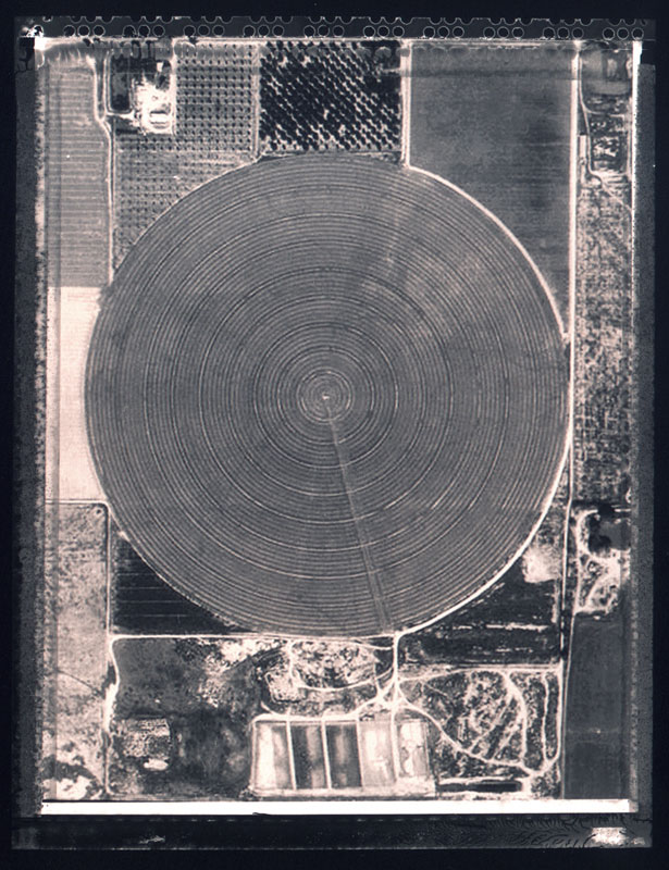
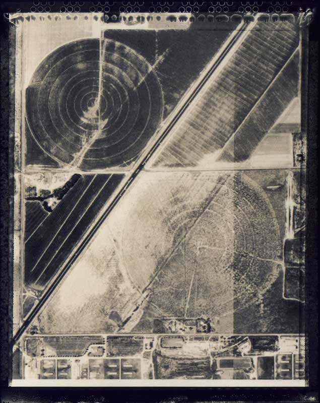
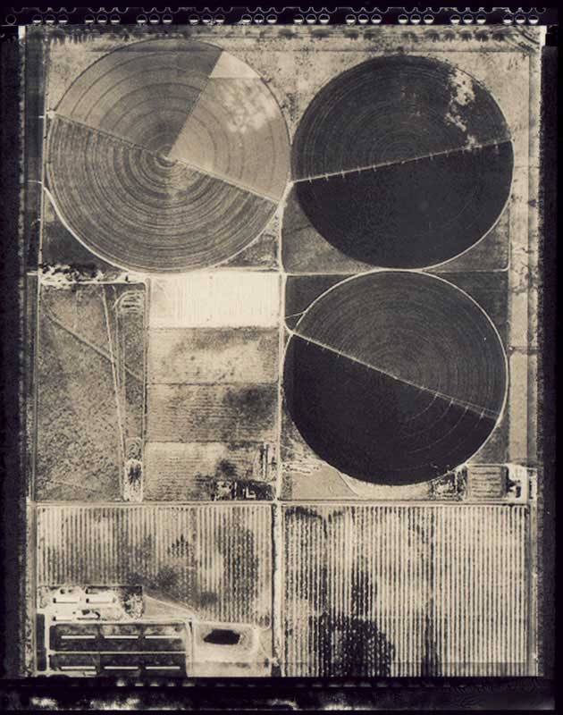
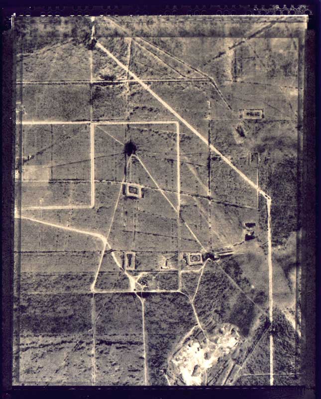
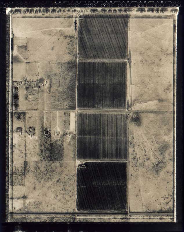
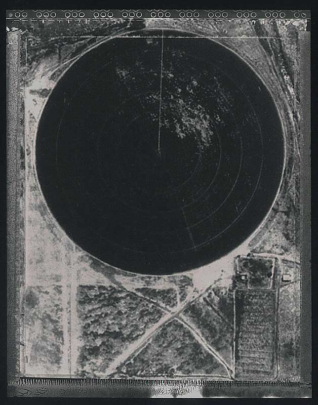
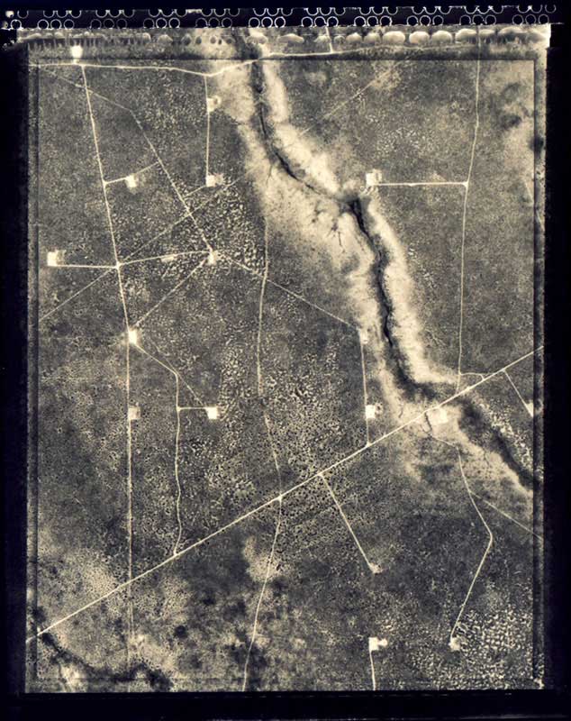
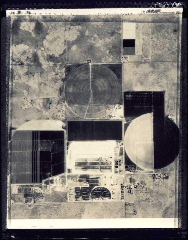
The town of Roswell lies in the state of New Mexico in the United States at latitude 33.4° N and longitude 104.5° W. In 1947 locals found three dead aliens in a crashed UFO on the outskirts of the town. The FBI and the CIA kept silent and hushed up the incident. The murkiness surrounding this mysterious case has been a source of scandal and controversy ever since. I came across a computer program called "U.S.A. Photomap". With this program you can download a photo-quality satellite image of anywhere in America by giving the geographical coordinates. The maximum resolution is 1 metre/pixel, so on a 17 inch monitor with a resolution of 1,024 pixels you can see 1,024 metres. This sparked my imagination. Casting myself in the role of the Roswell aliens, I wondered how this place would look from space. I gave the coordinates. Slowly, square by square, the monitor was filled by the full image. What luck! I overshot the centre of the town, ending up about 600-800 metres away from the inhabited area. A curious, exciting sight greeted my eyes. Lines, circles and squares in a geometrical, abstract arrangement of symbols. You couldn't help but think that these geometrical symbols on the surface of the Earth were intended to convey a message or information. The sight offered an exceptionally varied and almost undecodable configuration. If I were an alien, I'd land here! I cut out details of the picture by "screenshoot", added pixels due to the low resolution and printed them. I photographed the print-outs by Polaroid P/N process, and contact printed the negatives on silver-bromide paper. This is how this Roswell collection was made.
From digital - analogue!
Gábor Kerekes
No 6
No 5
No 4
No 1
No 3
No 7
No 8
N 10
No 2
No 11
No 12
No 13
No 14
No 9